Deck Elevation Drawings Explained
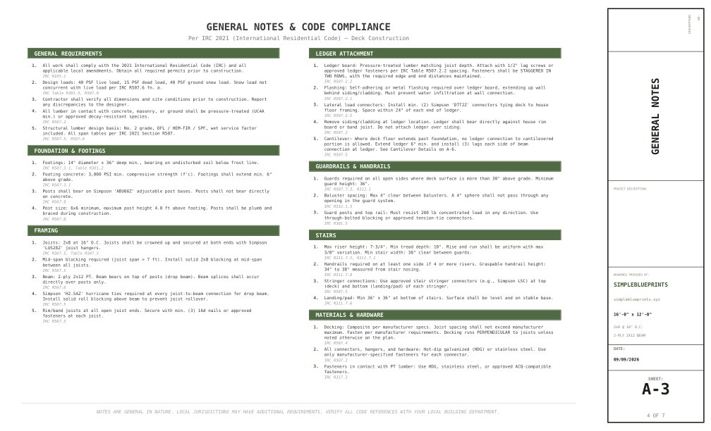
An elevation is the deck drawn from the side, as if you were standing in the yard looking at it. Everything on a permit set so far has been a view from above, and a view from above cannot show height -- so this is the sheet that carries every vertical dimension a reviewer needs.
Height above grade
The distance from the ground to the deck surface. It drives several other requirements at once: how tall the posts are, whether guards are required at all, and how tall those guards have to be.
Guards
A guard is the barrier at the open edge. Whether one is required, and how high, depends on the drop below it -- which is why it belongs on the elevation rather than the plan. Our own sets draw a 36 inch guard as standard and raise it to 42 inches on a deck more than 8 feet above grade.
Baluster spacing is checked too: the usual rule is that a 4 inch sphere must not pass through any opening in the guard.
Stairs
The elevation is where stair geometry is shown and checked: the number of risers, the height of each riser and the depth of each tread. Riser height and tread depth are both limited by code, and all risers in a flight have to be close to equal -- uneven risers are a trip hazard and a common correction.
Handrails appear here as well. A flight past a certain number of risers needs one, at a height the drawing has to show.
Posts and footings below grade
The elevation shows the posts continuing below the ground to their footings, with the footing depth dimensioned. Footings have to bear below the local frost line, which varies by region -- so the depth on the drawing is a local number, not a national one, and a reviewer in a cold climate will look for it.
This is a general description of what these drawings show and what is commonly asked for. Your building department decides what your own application needs, and has final authority on it.